




Millions of children flock to Roblox daily. Yet, this digital playground, home to an average of 123 million active users during the second quarter…

Kurt Knutsson highlights 5 disturbing robot clips. Humanoid robots can…

Selling your home can be exciting. It can also feel…




Researchers say that the Viking Age left an imprint on the genetics of present-day Scandinavians.In an international study published Thursday in the journal Cell, scientists found that DNA from archeological remains shows exceptional immigration to Scandinavia during that era.The authors analyzed 297 ancient Scandinavian genomes…

A green comet discovered last March will make its closest approach to Earth this month.The comet C/2022 E3 (ZTF) was first discovered by astronomers using the wide-field survey camera at California’s Zwicky Transient Facility. It was already inside the orbiter of Jupiter.Since then, it has brightened…
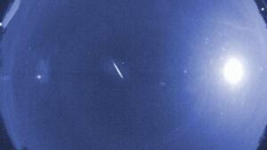
The Quadrantid meteor shower, the first of the year and one of the best displays, was peaking Wednesday morning amid a bright moon and cloudy weather conditions. The full moon will occur on Friday, bringing bright moonlight in the days ahead. According to Space.com, the moon’s shine…
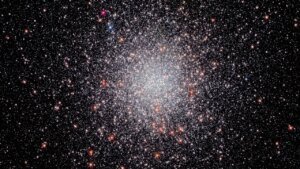
The Hubble Space Telescope recently captured the “glittering swarm” of stars of the globular cluster NGC 6440.The cluster is located in the constellation Sagittarius, some 28,000 light-years away.Globular clusters like NGC 6440 are tightly-packed collections of stars that live on the edges of galaxies. They can…
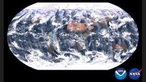
The National Oceanic and Atmospheric Administration has released the first image from its NOAA-21 Visible Infrared Imaging Radiometer Suite (VIIRS) instrument. The recently launched satellite captured a stunning panoramic view of the Earth, created from swaths of data captured throughout the full globe over a period…
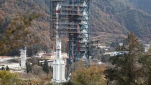
The Philippine Space Agency said it was recommending “precautionary measures related to expected unburned debris” from a Chinese rocket launch on Thursday.In the country’s last space launch of the year, a Long March 3B rocket lifted off from the Xichang Satellite Launch Center in Sichuan Province,…
Advertisement

